
Eight Tonnes of Marijuana Crossed the Border in a Year: the Weight Difference Was Measured, the Chain Ran for Months
19.08.2026


19.08.2026
19.08.2026
19.08.2026

19.08.2026

19.08.2026

19.08.2026

19.08.2026
18.08.2026
18.08.2026

19.08.2026

19.08.2026

18.08.2026

19.08.2026

19.08.2026

19.08.2026

19.08.2026

18.08.2026

17.08.2026

19.08.2026

19.08.2026

19.08.2026

19.08.2026
18.08.2026

17.08.2026

09.03.2026

27.02.2026

19.02.2026
19.08.2026
18.08.2026

18.08.2026
23.04.2026
23.04.2026

12.04.2026
For decades the satellite image was a privilege of generals. It travelled along a chain: intelligence agency, then command, and only then - maybe - to the person who actually has to do something on the ground. That chain has broken in Ukraine, and the consequence is bigger than it sounds.
According to the „New York Times”, the Ukrainian military was using satellite imagery from Western governments and private companies even before the war began in February 2022. What is new is the speed. Today the same system lets frontline units use data from space almost immediately - to find and strike targets.
From orbit to the drone operator
High-quality imagery goes directly to the units. That means faster target identification, more precise plotting of drone flight paths and verification of the result of the strike itself. Among the targets uncovered this way are weapons depots, logistics centres and places where troops are concentrating - both in territories under Russian control and deep inside Russia itself.
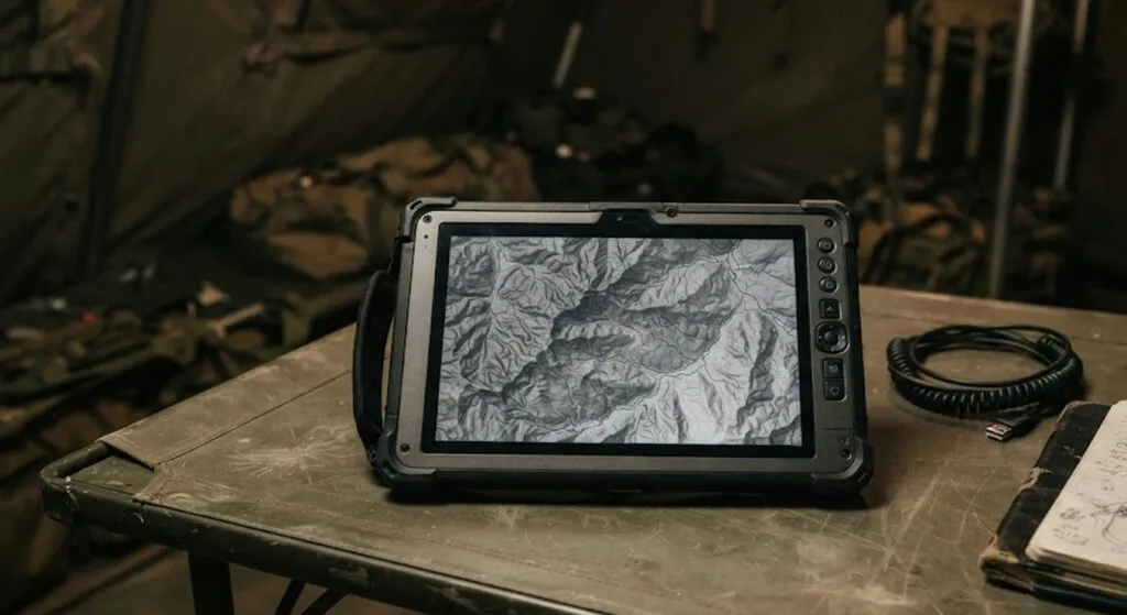
Particularly interesting is a system from the Dutch company Bravo One Alpha. It allows imagery to be transferred directly to a portable device resembling a games console. Through it, the operator reviews the terrain, looks for targets and plots the flight route.
A similar system has already shown that an image can reach a soldier's phone, tablet or computer in about fifteen minutes. From fifteen minutes to a decision - that is now the entire process.
The unit requests the image itself, picks the target, then checks what is left
In certain cases Ukrainian units can request that a satellite photograph a specific area, analyse the resulting images, choose a target, carry out the strike, and then request imaging of the same location again to check the result.
Read that sentence once more. A procedure once reserved for the largest intelligence services is now descending to tactical level, to people working from a table in a tent.
The cooperation did not begin in 2022
Even before the conflict started, the American National Geospatial-Intelligence Agency was helping route commercial satellite data from various companies to Ukraine, to the US military's European command and to NATO. American officials spoke about this publicly as early as spring 2022.
The volume of data only grew afterwards. Before the Ukrainian incursion into the Kursk region in 2024, Kyiv was receiving satellite imagery from the United States and Britain to track the movement of Russian reinforcements.
What a small region should take from this
The fundamental change is not technological but structural. Information that used to be power at the top is now a tool at the bottom. That changes both the nature of the war and the nature of command - because a soldier with a satellite image in hand does not wait for approval the way he used to.
And here is the part that does not concern only Ukraine. Satellite intelligence capability is no longer exclusively a state matter - part of it is bought from private companies. Do small states, including those in the Balkans, give any thought to what that means for their own security? Or will they only start thinking about it once somebody else shows them the picture?
The latest 10 news from this category
Emirati air defence detected a missile threat and residents were told to seek shelter. The first such case since May...
The rule that Western weapons do not go deep into Russia has fallen. Russia's embassy threatened consequences, Britain replied it...

The plan has 15 points and it is waiting - not on a security assessment, but on a calendar. Each...
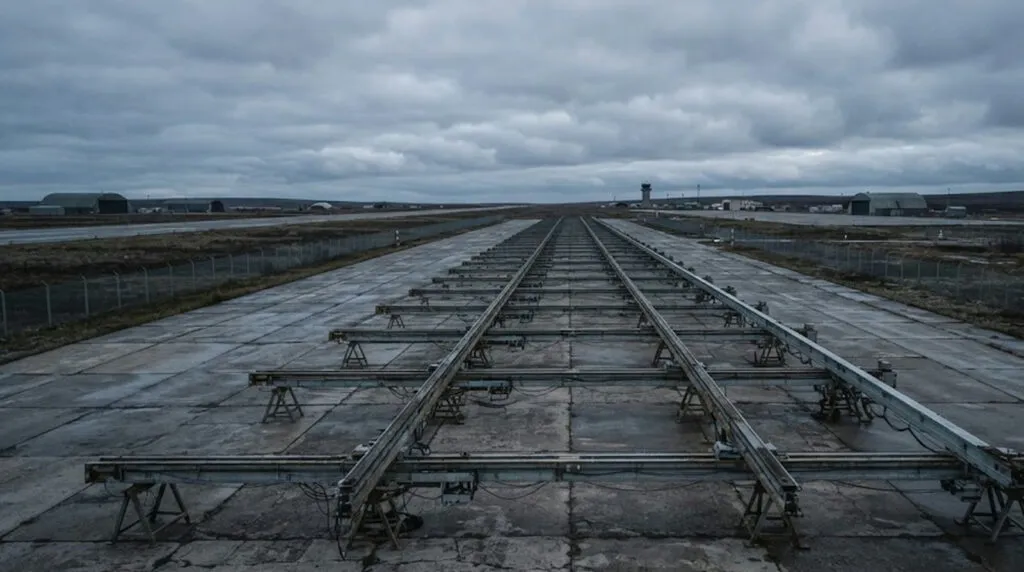
Satellite imagery and leaked documents reveal ten bases and 59 new rails for long-range drones. Russia is building infrastructure that...
The front line is not moving, the negotiating table is empty, so what remains is striking deeper into the other...
The largest air attack on the Russian capital in two years left six dead and a warehouse burning. But the...
An officer said the Kursk operation carried risk and immediately lost his post. The risk was not removed - he...
Hundreds of Ukrainian drones hit the Moscow region, and the largest warehouse of Russia's largest online retailer is on fire....
The drone flew in from Moldova, and a Spanish F-18 on a NATO mission shot it down at 5:01am. Romania...
One million three hundred thousand signed contracts, 30,000 killed and wounded a month by Western estimates - and there are...
This site uses cookies - is that okay? Learn more
Be the first to know when Metla launches something new
Leave your email and we will write when there is a new guide or something new on Metla.