

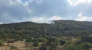
Kitka Has Been Burning for Days, and the Emergency Agency Says Someone Relights It Every Single Day
27.08.2026


27.08.2026
27.08.2026

27.08.2026

27.08.2026

27.08.2026

27.08.2026
27.08.2026
26.08.2026
25.08.2026

27.08.2026

27.08.2026

26.08.2026

27.08.2026

26.08.2026

25.08.2026

27.08.2026

26.08.2026
26.08.2026

09.03.2026

27.02.2026

19.02.2026

27.08.2026

26.08.2026
25.08.2026
23.04.2026
23.04.2026

12.04.2026

Up to 39 degrees today, tropical nights in most towns, and from Friday Saharan dust arrives over Macedonia as well. So the long weekend will not be a break from the heat - it will be the same heat, just with sand in the air.
Today's maximum temperature ranges from 31 to 39 degrees, reaching 39 in Skopje. The minimum in the capital drops only to 20, which is the definition of a tropical night: a temperature that does not fall below 20 degrees even after dark, so the body never gets a pause to cool down.
Where the heat comes from and what it brings with it
Macedonia remains under an extremely hot air mass pushing in from the south, from Africa. Forecasts say that influence lasts until Sunday, 30 August, with high daytime temperatures and tropical nights, especially in the Vardar valley and the south-eastern parts of the country.
On top of that comes Saharan dust and sand, expected over Macedonia on Friday, 28 August, and through the weekend of 29 and 30 August. The atmosphere may be noticeably hazy and dirty, and the sensation of heat even stronger.
The phenomenon is nothing exotic for the Balkans. Air currents regularly carry fine particles from North Africa across the Mediterranean towards Greece, the Balkans and further north. EUMETSAT notes that Saharan dust can travel thousands of kilometres, and when it arrives over populated areas it reduces visibility and affects air quality. In sensitive people it can trigger or worsen respiratory problems.
The Copernicus Atmosphere Monitoring Service, which tracks desert-dust transport with models and satellite data, registered a large Saharan dust cloud in January this year moving from North Africa towards Greece and the Balkans.
What you will actually see
Do not expect a sandstorm. The quantity and concentration of dust depend on air currents and shift hour by hour. What you will most likely notice is a hazy sky, weaker visibility and a different colour to the atmosphere - and if the dust settles, a layer that stays visible on cars and windows.
The weekend brings a second pattern too: sunny, warm mornings, then instability in places in the afternoon with heavy rain, thunder and strengthening wind. Locally these can grow into storms with conditions for hail.
The advice, and what is missing next to it
People sensitive to airborne particles and those with respiratory problems are advised to follow official air-quality information and to avoid prolonged stays and intense physical activity outdoors during the hottest periods.
Sensible. But notice who that advice is aimed at - the people who will feel it on their own skin regardless. A tropical night is not a piece of advice you can follow if you have no air conditioning at home, and "avoid outdoor activity" reads differently for someone working on a building site or in a field than for someone reading it from an office.
The forecast is accurate and timely. The question left unanswered is whether the state has anything beyond a forecast for the days when 39 degrees and a tropical night have become an ordinary August rather than the exception.
The latest 10 news from this category
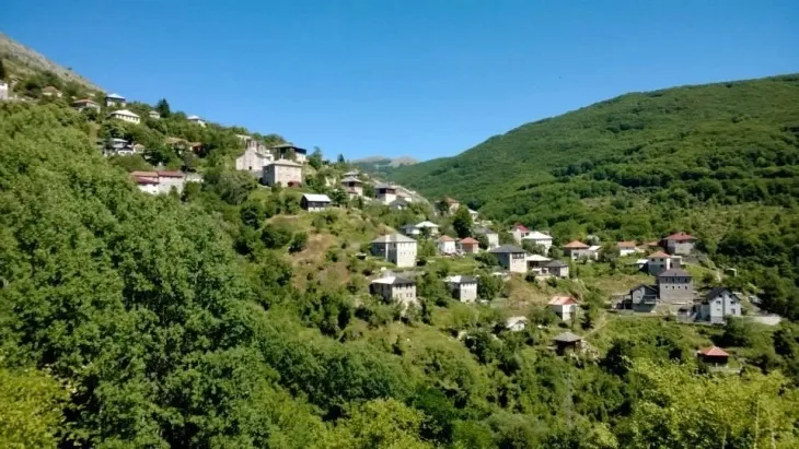
The local community council quotes the Criminal Code at the culprit itself and buys its own cameras. The institutions got...
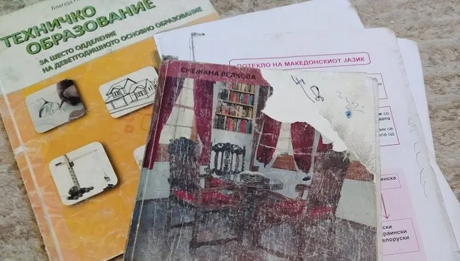
Minister Janevska announced the numbers and handed responsibility for the torn textbooks to the schools. The gap between births and...

Five dead, 80 per cent of patients over 60. Aerodrom is under a declared epidemic with four infected and carried...

Cameras read the number plates - a second arrival the same day means parking from 100 denars up. Taxi drivers...
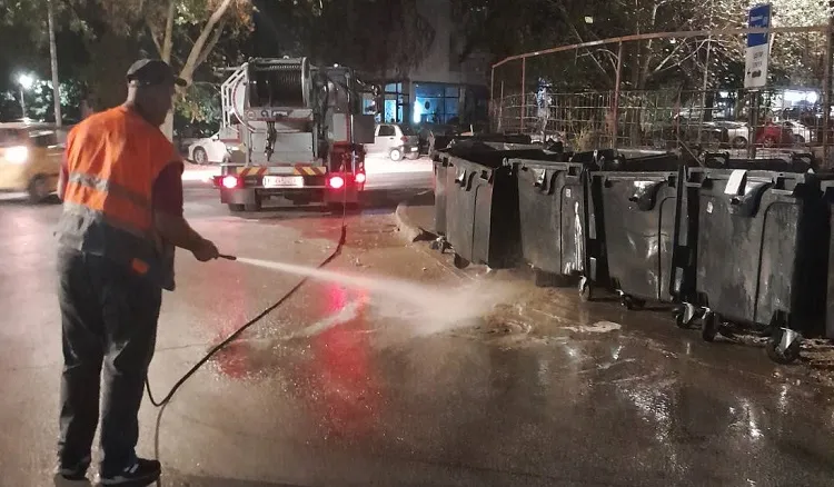
The utility announced it washes every micro-location in every municipality. At the same time, Skopje residents are posting photographs of...
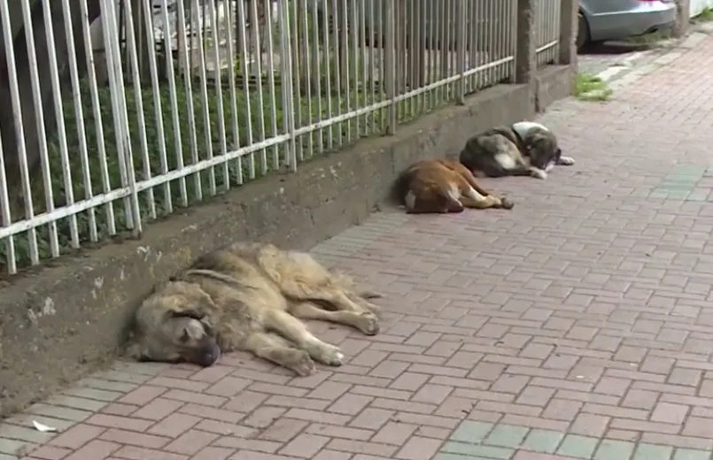
The director says the dogs have no ear tags - meaning they are not strays, but brought and abandoned. And...
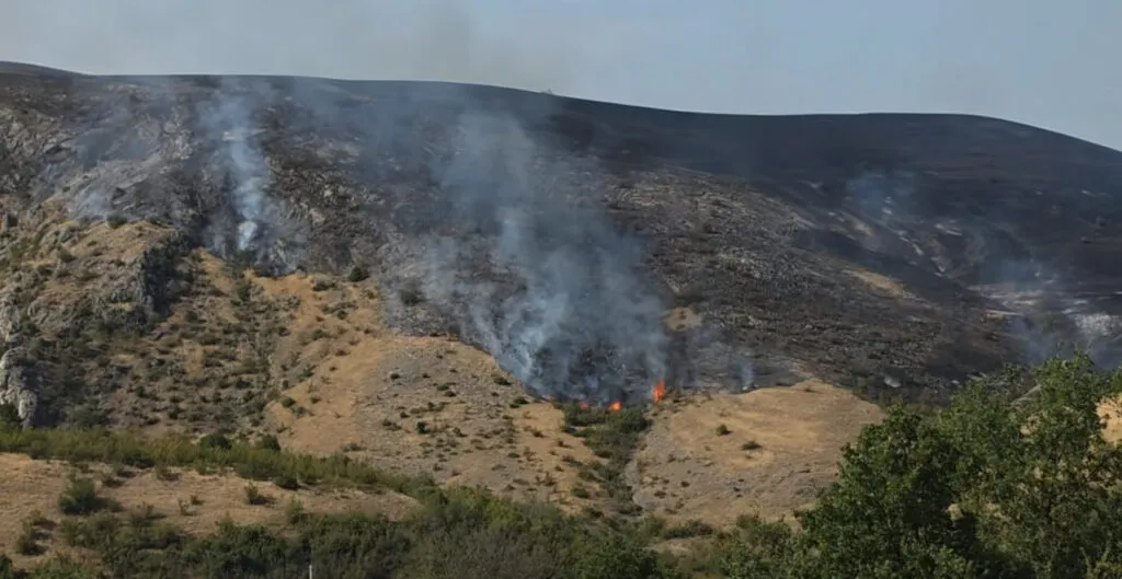
Twenty-three fires in a single day, aircraft redirected from one front to the next. And on Kitka, someone waits for...
Three hundred fewer classes, twenty-six villages without a school. Janevska says they "managed" to do it - but an empty...
A boat hit a paddleboard just off the shore, and the response came from residents standing on boards in the...
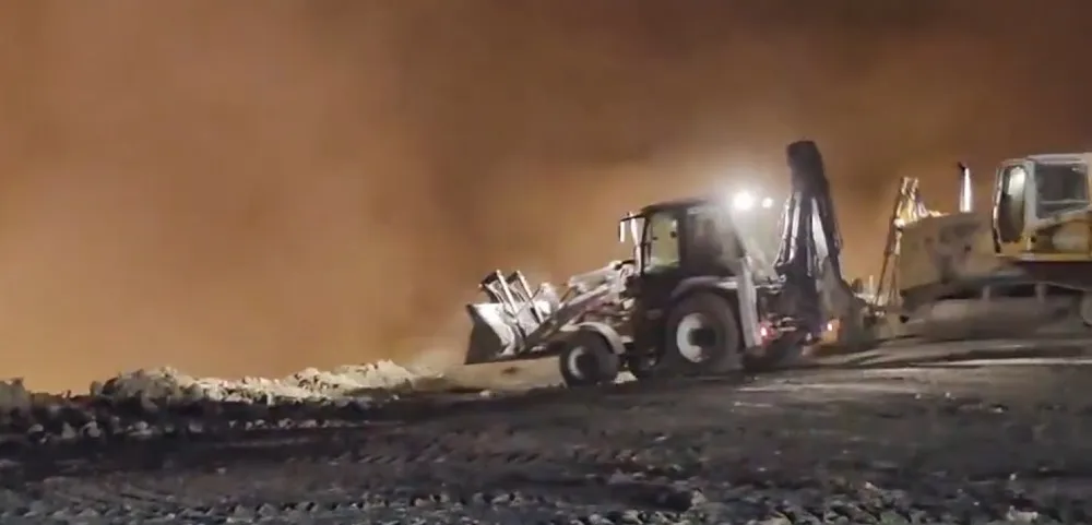
The fire is not being put out - it is being buried under soil. And when clearing a dump means...
This site uses cookies - is that okay? Learn more
Be the first to know when Metla launches something new
Leave your email and we will write when there is a new guide or something new on Metla.