
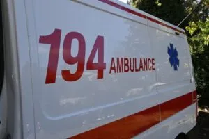
Studeničani: 35-year-old dies after being electrocuted while washing his car with a pressure washer
18.09.2026


18.09.2026
18.09.2026

18.09.2026

18.09.2026

18.09.2026
18.09.2026
18.09.2026

17.09.2026
16.09.2026
18.09.2026

18.09.2026

17.09.2026

18.09.2026

18.09.2026

18.09.2026
18.09.2026
17.09.2026

16.09.2026

18.09.2026

18.09.2026
18.09.2026

18.09.2026

17.09.2026

17.09.2026

09.03.2026

27.02.2026

19.02.2026

18.09.2026
17.09.2026

16.09.2026
23.04.2026

23.04.2026

12.04.2026

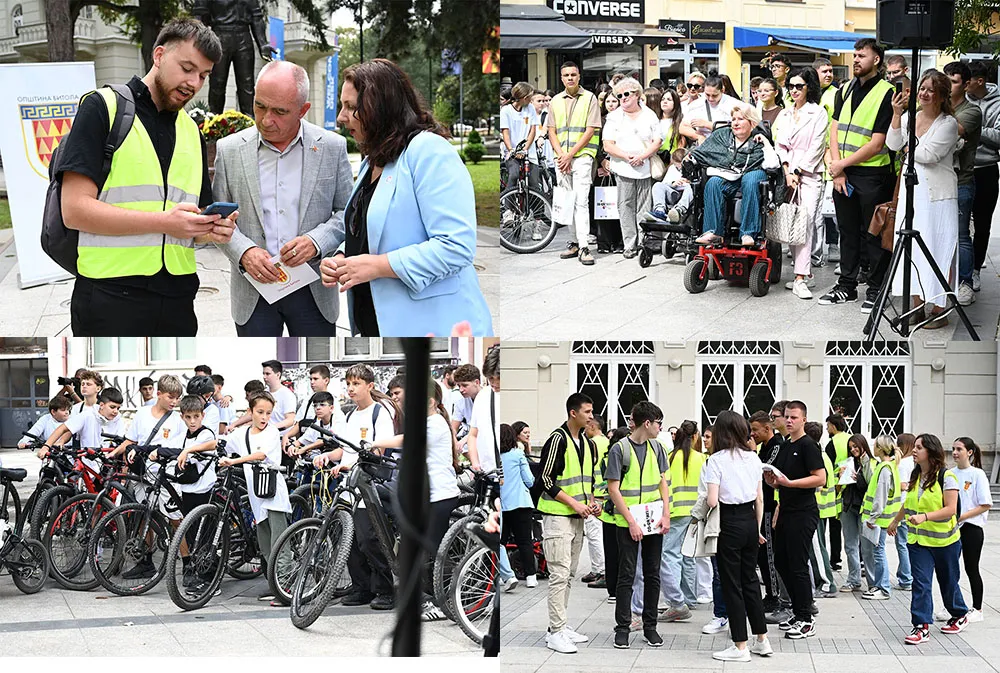
Primary pupils, secondary students and university students in Bitola did not take a walk through the city - they mapped it. With an app in hand, along routes from the Officers' Hall to the grammar schools, they recorded where you can get through and where you cannot.
Moving with them were wheelchair and pram users, cyclists, scooter and roller skate riders, and older people. Each at their own speed and with their own obstacles, on the same pavement.
Mapping instead of a survey
The activity is part of European Mobility Week and of the Smart CityZen initiative, launched in 2024 through the UKLO COLORS triple transition hub and the Municipality of Bitola. The Greenstars team from UKLO, led by Professor Renata Petrevska Nechkoska, was in the field with the participants.
The difference between this and the usual consultation matters. A survey asks what citizens think. Mapping records what actually stops them - and does it with a coordinate, not an opinion. The app, developed by Valentin Stojanovski, was tested in real conditions at this very event.
On the mentors' initiative, it has been proposed that this become a compulsory school activity, as part of socially responsible work.
What the mayor admitted
Mayor Toni Konjanovski welcomed the initiative and noted that Bitola has for the first time got cycle paths running 5 kilometres, and that new routes are being worked on. The municipality also ran a public call for funds to adapt accessibility and mobility for people with disabilities, both to and within their homes.
"Mobility is not the same for everyone. What for one citizen is an easy, passable route can for another be a serious obstacle," he said.
The sentence is accurate and rarely heard from a mayor. Five kilometres of cycle path, meanwhile, is a starting figure for a city this size - and Konjanovski is not hiding that, since he himself is talking about new routes.
The test comes later
The activities ended in front of the Officers' Hall, with a discussion in which the young people presented their ideas for a "Vision for Bitola" - what they want it to be in five years.
The data has been collected. The obstacles have been mapped with an exact location. That is the part the students do for free, in a single afternoon.
The part that costs money comes next - a dropped kerb, a ramp, a pavement that does not end in a lamp post. The map will show exactly how many of those points get fixed within a year. And that is the only reason the mapping is worth more than another event with photographs.
The latest 10 news from this category

Rič, Popčevo, Belotino and Veljusa left without drinking water after an emergency inspection. The two findings travel together, and that...

The Balkan chamois is strictly protected under the Bern Convention. The hunting is legal because Mavrovo has been waiting more...
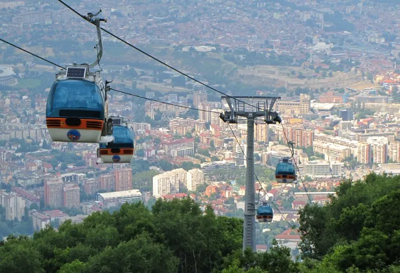
Three of the four sensors were not working, the cables were worn beyond the safety minimum. A state inspection last...
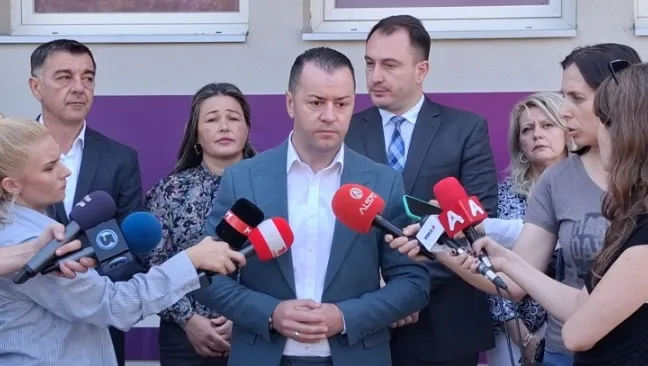
Stefkovski is introducing this after Mucunski. The Constitution applies to the whole country, yet the rule is being made municipality...
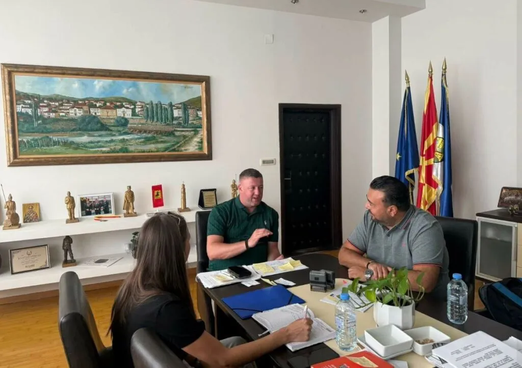
If the full deadline is used, the document arrives in autumn 2027. Realistically, the first paid parking space is not...
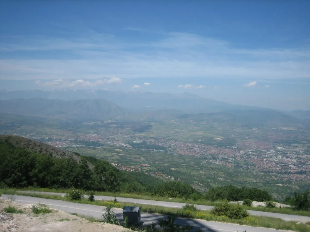
The municipality says a third less construction than the old plan. Measured against what stands on the slope today, it...
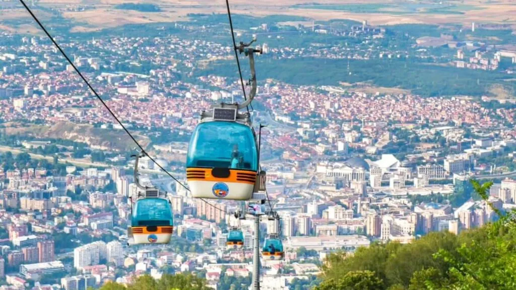
The mayor says the cable car was one step away from tragedy. The manufacturer's report found worn-out parts and dead...
One ticket for both train and bus by the middle of next year, 40 new eco-friendly buses, waits under six...
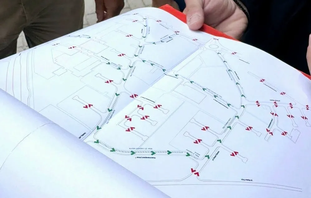
Two streets go one-way, cycle lanes appear and the speed limit drops to 30 km/h. The question nobody answered is...
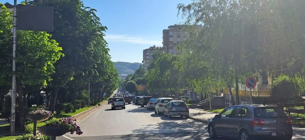
The same system ran for six months and was scrapped over losses. The question facing every councillor is simple -...
This site uses cookies - is that okay? Learn more
Be the first to know when Metla launches something new
Leave your email and we will write when there is a new guide or something new on Metla.