

The Mihailova Case Goes to NATO: Mickoski Blames Sofia, and the Interior Ministry Still Hasn't Explained How She Crossed the Border
17.10.2026


17.10.2026
17.10.2026
17.10.2026

17.10.2026

17.10.2026

17.10.2026

17.10.2026
16.10.2026

15.10.2026

17.10.2026

17.10.2026

16.10.2026

17.10.2026

17.10.2026

17.10.2026

17.10.2026

16.10.2026

15.10.2026

17.10.2026

17.10.2026

17.10.2026

17.10.2026

17.10.2026

17.10.2026

17.10.2026

16.10.2026

15.10.2026
15.10.2026

13.10.2026

12.10.2026
23.04.2026
23.04.2026

12.04.2026

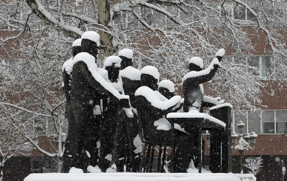
The latest October runs from six seasonal models suggest the coming winter could bring below-average snow across almost all of western, central and southern Europe. The biggest deficits are expected along Scandinavia's west coast, in the north of the United Kingdom and in the western Balkans. Above-average snow is forecast only in the far northeast of the continent and in small parts of the northern mountain regions.
The October picture is worse than September's. A comparison of the ECMWF and British UKMO models shows that all seven main European regions now carry a below-average signal for total snowfall, and the biggest deterioration from the previous month is precisely in the group covering southern Europe and the Balkans.
The models also say when. December looks like a slow start to the season, and the strongest snow signal shifts towards the second half of winter. February stands out in parts of eastern and central Europe, while in March the more favourable signal moves even further north. For western, central and southern Europe there is, for now, no month with widespread above-average snow.
El Niño doesn't write the winter on its own
Much of the signal is linked to the strong El Niño in the tropical Pacific. According to NOAA's US Climate Prediction Center, the phenomenon keeps strengthening, and a strong to very strong event is likely through January - March 2027. Its effect on Europe, however, isn't direct: the North Atlantic, the jet stream, Mediterranean cyclones and the polar vortex are all in play.
The polar vortex is the wild card. If it gets disrupted later in the winter, Arctic air drops more easily towards the mid-latitudes and brings cold spells that a seasonal average can't show in advance. Science has no clear-cut answer here: winter 2006/2007 was also under El Niño's influence, and it was unusually warm.
Meteorologist Slavcho Poposki, who says the official seasonal analysis for Macedonia will come in December, notes that the analyses are contradictory for now. In his view, El Niño is not very intense and doesn't have a big impact in Macedonia, and the coming winter, though milder, doesn't mean there won't be spells of very cold to extremely cold weather and heavy snow, especially when cold air reaches the Mediterranean and forms snow cyclones.
Translation for Mavrovo, for the winter road crews and for anyone already ordering firewood: a seasonal map can't tell you whether it will snow in Skopje on a given date. It can only tell you that the models are less optimistic than a month ago. The question is whether those who are supposed to clear the roads will read the forecast as an excuse to prepare less, or as a warning that a single strong cyclone is enough for chaos?
The latest 10 news from this category
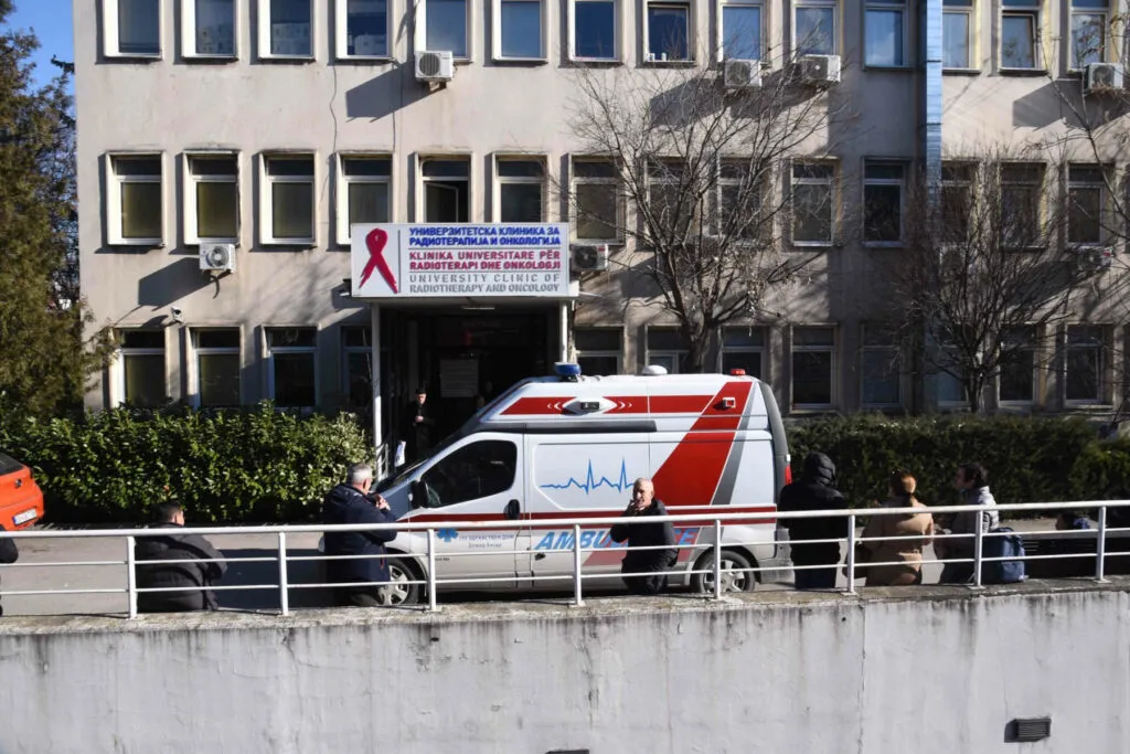
Zoladex is missing again, Phesgo arrived late, and breast cancer patients went home without their therapy. The clinic points to...
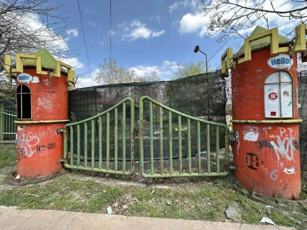
The 10-million-euro contract gave the contractor 36 months, longer than the mayor's own promise. Skopje has had no amusement park...
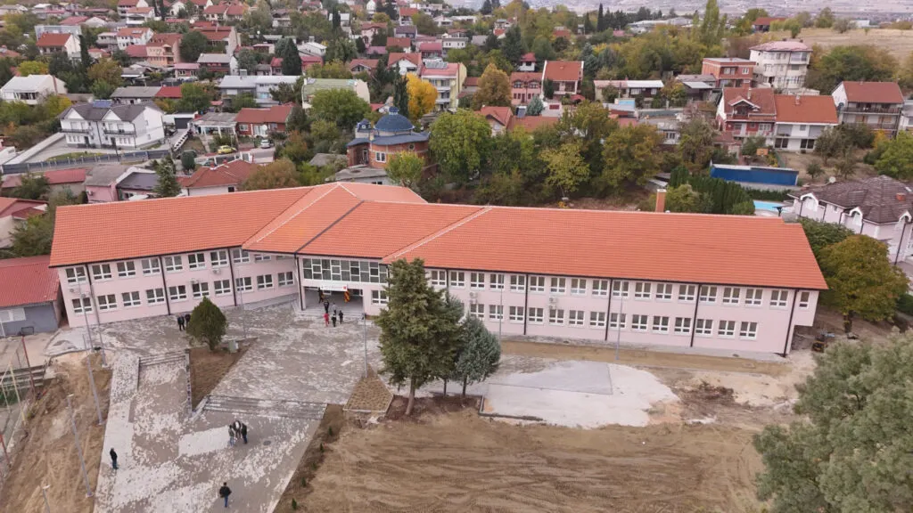
For decades, children in Chento studied in barracks, in conditions the PM himself calls substandard. The new building opened with...
Rebuilt local roads, new car parks and 650,000 denars less spent on an outside lawyer. The biggest number in the...
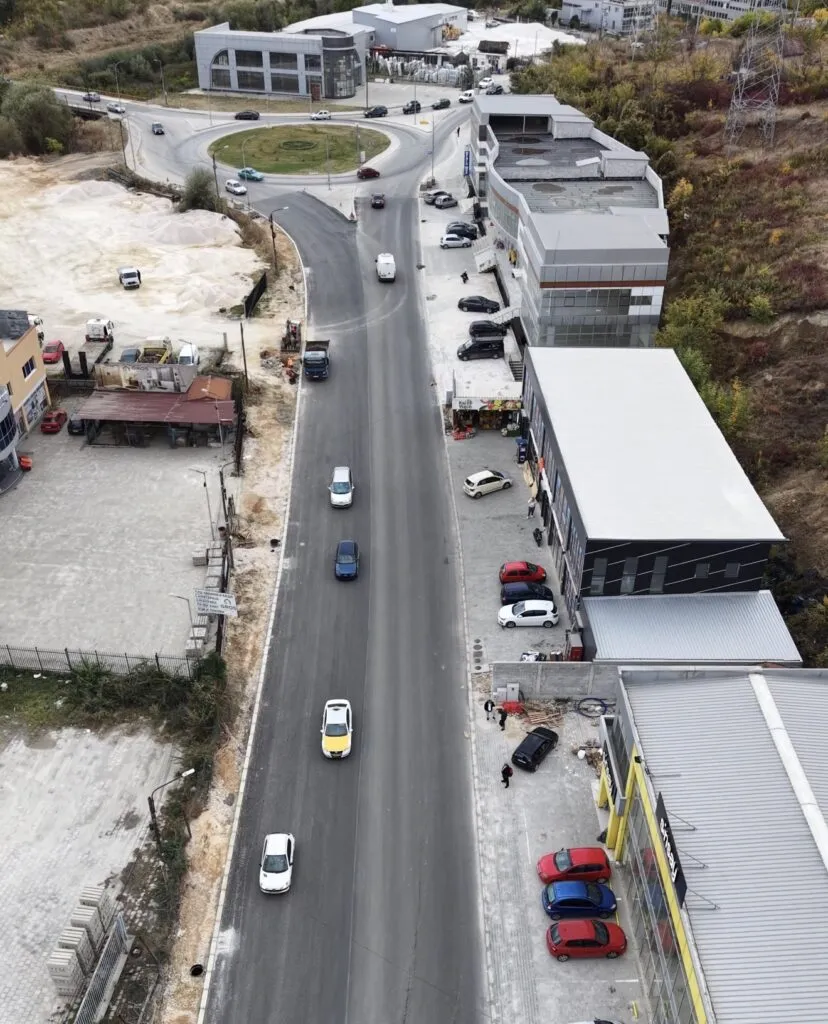
The mayor says works are ahead of schedule and that over 100,000 residents will get a modern boulevard. The real...
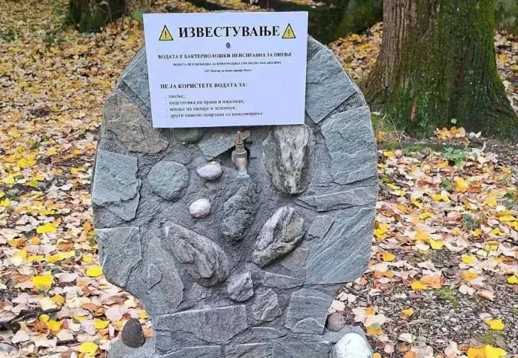
Signs on stone and an appeal not to drink. But what about the water supply in Smrdliva Voda - the...
Mayor Jovanovski is boasting about savings. But if school transport suddenly costs half as much, someone needs to explain why...
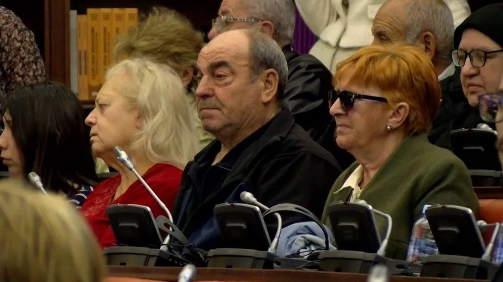
Somewhere between four and ten thousand blind and partially sighted people - that's how precisely the state counts them. On...
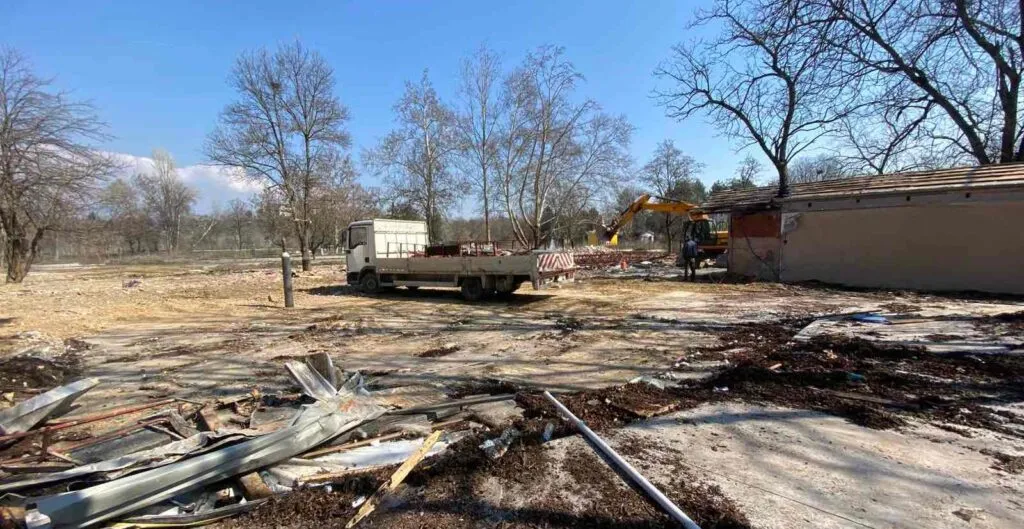
December: "one of the best in the region". May: a 10-million-euro contract. By August: cancelled, over a court case about...
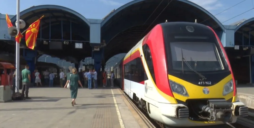
A passenger isn't a car, and 150 electric buses aren't the 250 Skopje asked for. The minister calls criticism of...
This site uses cookies - is that okay? Learn more
Be the first to know when Metla launches something new
Leave your email and we will write when there is a new guide or something new on Metla.