


Prilep: 37 searches, a safe deposit box with over 50,000 euros and four police officers under suspicion - how did the "untouchables" last 15 years?
03.10.2026


03.10.2026
03.10.2026
03.10.2026

03.10.2026

03.10.2026
03.10.2026
03.10.2026

02.10.2026
02.10.2026
03.10.2026

03.10.2026

02.10.2026
03.10.2026

03.10.2026
03.10.2026
03.10.2026

02.10.2026
01.10.2026

03.10.2026

03.10.2026

03.10.2026

03.10.2026
02.10.2026

01.10.2026
09.03.2026

27.02.2026

19.02.2026

03.10.2026

02.10.2026

01.10.2026
02.10.2026
22.08.2026
20.08.2026
23.04.2026
23.04.2026

12.04.2026

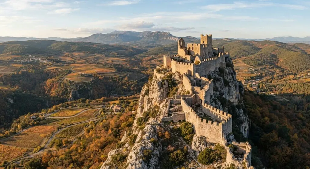
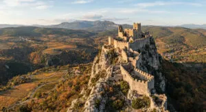
Carcassonne has a long CV: royal fortress, border between France and Aragon and, just two centuries ago, the site of one of Europe's biggest monument restorations. When the medieval city was facing demolition, the 19th-century architect Viollet-le-Duc spent half a century rebuilding it, restoring its medieval look - but through his own romantic vision. UNESCO added it to the World Heritage list in 1997. Now its enormous castle shares that status with seven far lesser-known fortresses, grouped together as the "Capetian Royal Fortresses of Languedoc".
Aguilar, Lastours, Montségur, Peyrepertuse, Puilaurens, Quéribus and Termes sit on mountains, ridges and rocky outcrops, some almost melting into the landscape of this historic region in the south of France. They are the other faces of the fortified territory around Carcassonne - and a good reason not to end the trip at its walls.
Aguilar and Lastours. On a hill in the Corbières, near Tuchan and among the vineyards of the Fitou appellation, Aguilar is a small but strategic fortress that the French crown brought into its defensive system. Together with Quéribus, Peyrepertuse, Puilaurens and Termes, it made up the so-called "five sons of Carcassonne", guarding the passes to the south on the border with Aragon. Today it is a ruin, but the structure reads clearly: two rings of walls and towers that follow the contour of the hill, with no reconstructed interiors and no fake medieval stage set. Lastours, meanwhile, isn't one castle but four on a single mountain: on a ridge of the Montagne Noire stand Cabaret, Tour Régine, Surdespine and Quertinheux, reached on foot along marked trails from the small village.
Montségur. The Cathars made it one of their main refuges, and it was here in 1244 that one of the decisive episodes of the Albigensian Crusade played out: after a siege of several months, the fortress fell to the troops of the French crown. The castle you see today is a later one. You climb on foot to the rocky ridge at over 1,200 metres above sea level, in about 35 minutes, and the fortress can be explored on your own, without a guide. The museum in the village fills in the story of the place and of the Cathars. Here the stones don't tell fairy tales about knights - they tell of siege and defeat.
Peyrepertuse and Quéribus. Peyrepertuse doesn't look built on the mountain so much as glued to it. Its walls stretch for over 300 metres along a limestone ridge at around 800 metres altitude, and the Saint Louis staircase, carved straight into the rock, leads to the highest part of the fortress. From its summit you can see in the distance the silhouette of Quéribus, its main rival and one of the last strongholds linked to the Cathars. From the Grau de Maury pass, a short detour from Cucugnan, a steep path leads to three rings of walls and a massive keep, whose upper level hides a Gothic hall with a vault resting on a single round pillar.
Puilaurens and Termes. You reach Puilaurens on foot through a forest, until the first walls and towers set into the rock appear between the trees. The site was fortified even before the French crown incorporated it into its defences facing Aragon in the mid-13th century. Inside, walls, towers, stairs and passages on several levels have survived, and the fortress lost its military role more than three centuries ago. Termes, for its part, held out for almost four months against the troops of Simon de Montfort in 1210 before it fell. It sits above the gorges of the Terménet and, ruin though it is, its position alone explains why it mattered so much.
This isn't a trip for anyone looking for reconstructed halls and guides in costume. It's a trip for your legs and your eyes, from rock to rock. And while France turns ruins into World Heritage sites and hiking routes, it's hard not to wonder: how many medieval fortresses in the Balkans are still waiting for someone to at least put up a sign and mark a path to them?
The latest 10 news from this category
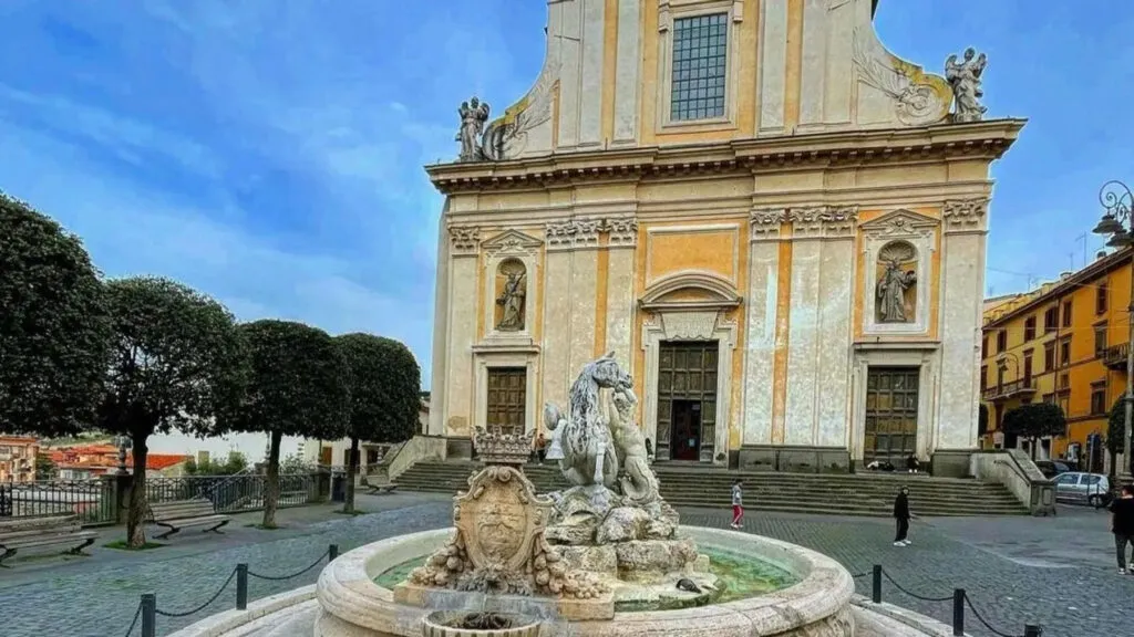
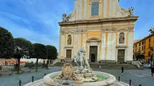
The fountain was built to celebrate victory over the Ottoman fleet at Lepanto, and the grape festival that fills it...
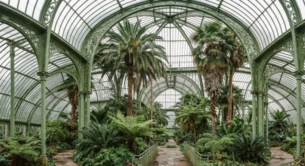
One moth that never left its cocoon opened the age of glass and iron. It left behind a Vienna greenhouse...
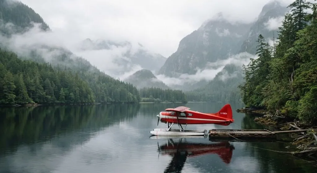
A Spanish actor went back to Canada decades after the trip he took as a child following his father's death....
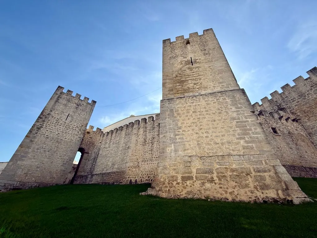
The Algarve isn't just beaches. Less than 20 kilometres from Faro there's a town where market eateries have to buy...
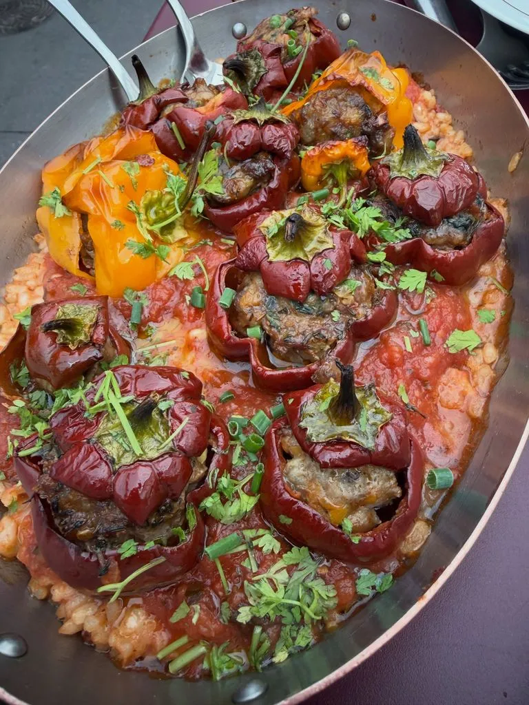
From 28 September to 6 October, Paris is a runway. And after the shows, the stars go looking for pepper...
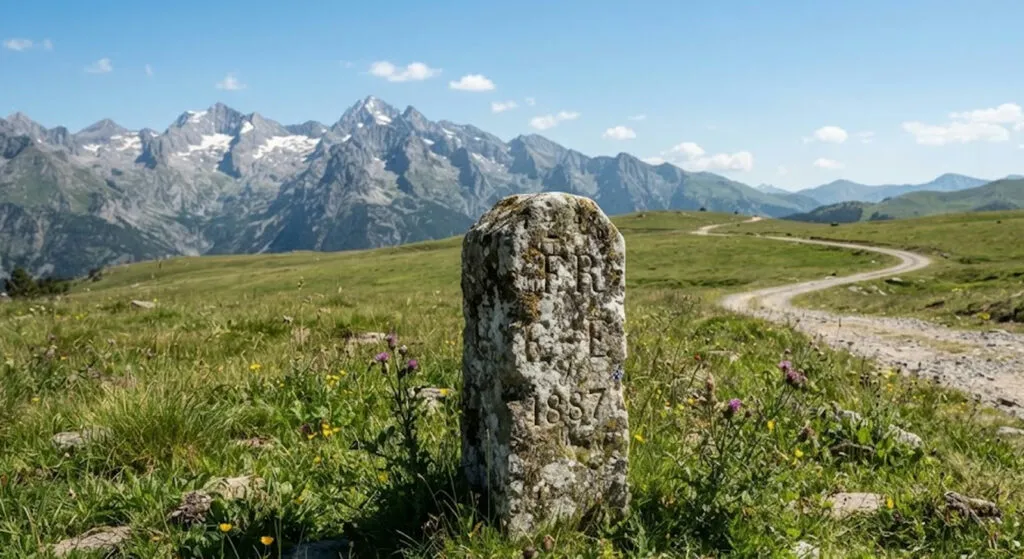
Around 1,500 residents, 12.9 square kilometers and a seven-kilometer road through another country. One of Europe's oldest pharmacies and the...
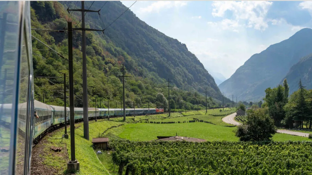
Cologne, Zurich, Lugano and Lake Como in one night, with stations in the centre of every city. Europe's night train...
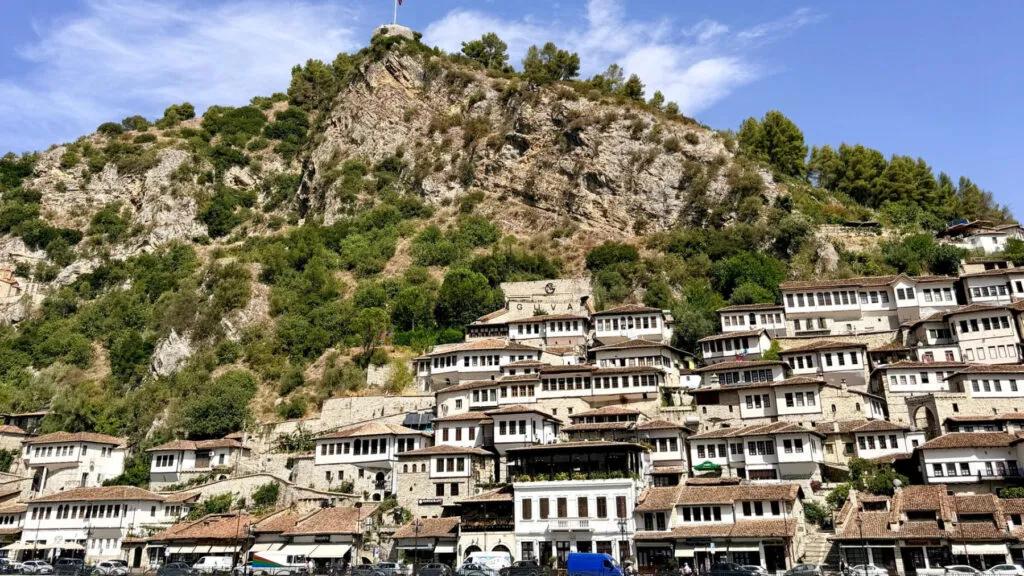
UNESCO-listed stone towns, Ottoman bazaars, bunkers turned into museums and beaches compared to the Caribbean. A neighbour that deserves more...
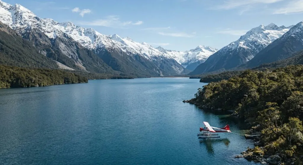
Brad Pitt fights to survive the Alaskan wilderness, while the camera stood in New Zealand the whole time. Where exactly...
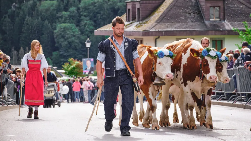
UNESCO protected the tradition in 2023, and the song sung there is documented as far back as 1545 - it...
This site uses cookies - is that okay? Learn more
Be the first to know when Metla launches something new
Leave your email and we will write when there is a new guide or something new on Metla.