

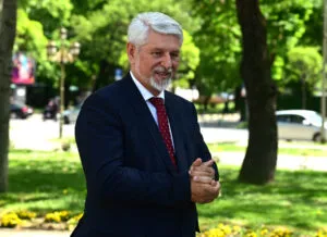
A New Criminal Complaint Against Jakimovski: A Building Permit Based on a Plan Struck Down Back in 2018
16.09.2026


16.09.2026

16.09.2026

16.09.2026
16.09.2026
16.09.2026

16.09.2026
16.09.2026

15.09.2026

14.09.2026

16.09.2026

16.09.2026

15.09.2026

16.09.2026

15.09.2026

14.09.2026

16.09.2026

16.09.2026

16.09.2026

16.09.2026

15.09.2026
15.09.2026
09.03.2026

27.02.2026

19.02.2026

16.09.2026

15.09.2026

14.09.2026
23.04.2026
23.04.2026

12.04.2026

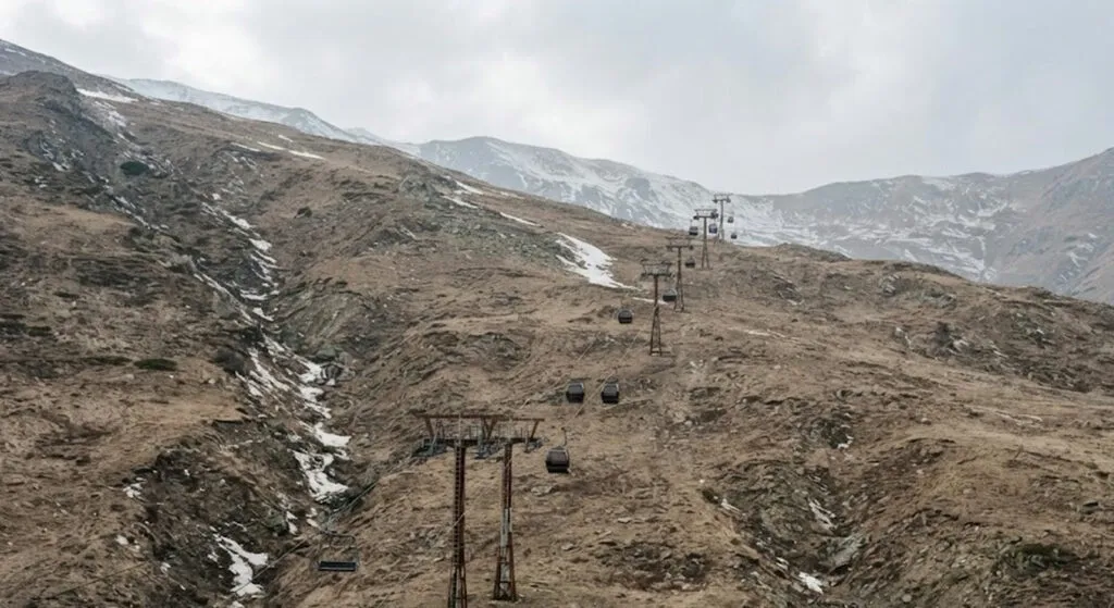
Two independent forecasting houses, two sets of calculations, one conclusion: the 2026/2027 winter in Europe will bring significantly less snow than average. The cause sits on the other side of the planet, in the warm waters of the tropical Pacific.
El Nino, the cycle that occurs when the water of the tropical Pacific is unusually warm, does not stay where it starts. It shifts the great atmospheric currents that decide where storms will head, where rain will fall and where cold air will descend. Current conditions are already pronounced, and the models show the peak could arrive in late autumn or early winter. If the forecasts hold, this will be among the strongest episodes recorded so far.
What that means for our mountains
Under a strong El Nino the pattern is recognisable: more frequent flows of warm Atlantic air towards the continent, strengthened high-pressure systems in the south, and temperatures at lower altitudes that are simply too high for snow to hold. The European ECMWF model forecasts a weak snow season for most of the continent, with the exception of mountain massifs such as the Alps and the colder northern and north-eastern areas.
The forecast for the ski season depends on altitude. Above 1,800 to 2,000 metres, the prospects for a decent natural snow base remain solid. Below that line, the dominant mild Atlantic flow does not leave much room.
Month by month, no improvement
December brings below-normal snow amounts to the lowlands across most of Europe, except the far north - westerly and south-westerly flows deliver moisture, but also temperatures that are too high. January brings no change: the high-pressure ridges in the south hold their ground. February, the month when the most snow usually falls, shows the largest deficit in the model precisely across central, western and southern Europe.
The British UKMO model covers November to January and arrives at the same picture, with one difference - it does not even forecast increased snow at higher elevations in the central part. November, it says, will bring a widespread deficit and an exceptionally late start to the season, even in the mountains.
Less does not mean none
This is the part most often lost in translation. Below-normal amounts do not mean a winter without snow. They mean less than the historical average - an area that usually gets a metre a year could end a season like this with twenty centimetres. Individual cold spells and heavy snow episodes remain entirely possible; seasonal forecasts show a trend, not a date.
It is also worth knowing what these figures are not. They are long-range seasonal estimates made three months ahead, and the atmosphere rarely sticks to a timetable. But when two independent models, the European and the British, point the same way, that is a signal even the most sceptical reader struggles to dismiss.
For a region where winter income from the mountains is not a reserve budget but the main one, and where the water from the snowpack is spent all summer, this is not a forecast about skiing. This is a question about spring.
The latest 10 news from this category

Sanctions imposed over one war are being offered as currency in an entirely different dispute. Most member states are against...
The easiest way to dismiss an uncomfortable argument is to point at who is making it. But that does not...
The appeals court ruled the entire trial must start over. The son of Norway's queen is waiting for it on...
Trump scaled back the military exercises to ease the tension, and Wonsan answered in the form of projectiles. What does...

The sanctions list got a seven-day extension instead of one measured in months, a move diplomats themselves call unprecedented. Two...

Switzerland offered a table for talks on Ukraine, Moscow replied that the table stopped being neutral once Bern adopted EU...

The will says one thing, a committee of twenty-one men decided another. The queen mother says the army pulled the...
A country that was Europe's byword for stability for decades now has a parliament split into two blocs by a...
Sixteen years in power, defeat at a regular election, five months of quiet - and now the election result is...

When an institution with a legal department and a palace apparatus has to publish a list of its verified accounts,...
This site uses cookies - is that okay? Learn more
Be the first to know when Metla launches something new
Leave your email and we will write when there is a new guide or something new on Metla.