
Six Years of Fake Licence Categories Issued From an Interior Ministry Desk: Six Charged, 21 More Under Investigation
21.09.2026


21.09.2026
21.09.2026

21.09.2026

21.09.2026

21.09.2026

21.09.2026

21.09.2026

20.09.2026

20.09.2026
21.09.2026

21.09.2026
20.09.2026

21.09.2026

21.09.2026

21.09.2026

21.09.2026

20.09.2026

19.09.2026

21.09.2026

21.09.2026

21.09.2026
21.09.2026

21.09.2026
21.09.2026
09.03.2026

27.02.2026

19.02.2026

21.09.2026

21.09.2026
20.09.2026
23.04.2026

23.04.2026

12.04.2026

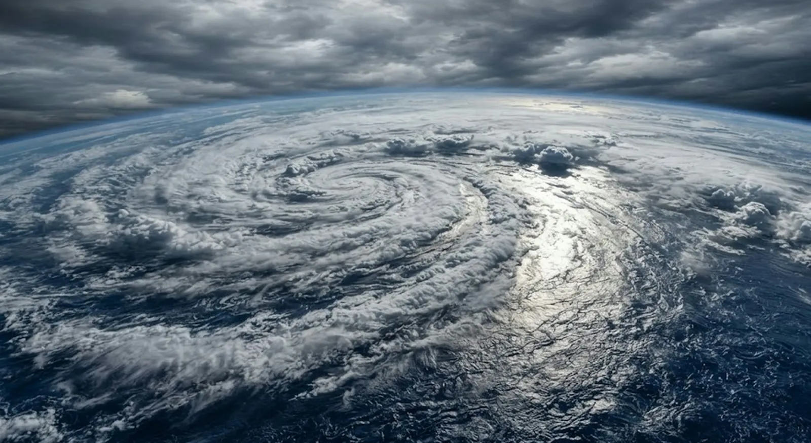
El Niño, one of the most powerful climate phenomena on the planet, is strengthening fast. The latest measurements and climate models indicate that by late autumn and early winter it could reach an intensity recorded only very rarely - among the strongest since instrumental measurements began.
The phenomenon occurs when sea surface temperatures in the central and eastern tropical Pacific become significantly higher than average. That alters atmospheric circulation patterns, affects the movement of jet streams and triggers weather changes around the world - temperatures, rainfall, droughts, floods, storms.
It is the current measurements that are unsettling meteorologists. In parts of the central Pacific, surface temperatures are more than five degrees above average. According to the American NCEP CFSv2 climate model, the anomaly could exceed three degrees Celsius. Anything above two degrees enters the "super El Niño" category - a rare and powerful event. The cause of the rapid intensification is a powerful underwater warm wave, known as a Kelvin wave, lifting an enormous mass of warm water towards the surface.
The first consequences are already visible. In July the US and Canada recorded patterns typical of a strong El Niño, and August is expected to bring a warmer west-central United States, lower temperatures in the east and less rain in the south.
Europe, unlike North America, responds with a lag. The first half of August is expected to be dominated by high atmospheric pressure over the central, southern and southeastern parts of the continent - so over us too. The most pronounced impact on European weather, meteorologists say, will only be felt through autumn and winter.
That is the part worth remembering now, not in November. If the forecasts hold, the likelihood rises of longer heatwaves, heavy rainfall, floods and droughts. This is not a prediction about a specific day - nobody can say what the weather will do on 3 December. It is a prediction about how often the extreme will stop being the exception.
The question, then, is not whether it will arrive. The question is who here is reading this forecast in August - or will we wait for the river to show us the answer again?
The latest 10 news from this category

Three options on the table in Washington - military pressure, economic strangulation or a deal - and the president frames...
The party of Adenauer and Kohl slid to the electoral threshold in Mecklenburg, the AfD is already demanding the chancellor's...
Two prime ministers in the same Union, the same month, completely opposite diagnoses of who is provoking whom. There is...
A broken aircraft in a field usually ends up in a police note. This one ended up with federal investigators,...
Beijing will easily find another supplier. The harder question is what Washington is actually testing: whether private Chinese companies will...
The law lets Washington hit the five biggest buyers of Russian oil with tariffs of up to 100 per cent....

Measures imposed over the war in Ukraine are now being offered as currency in an entirely different dispute. If the...

A smaller dose and more needles does not mean a safer vaccine, it means an ineffective one. Science has had...

Harald designed the sarcophagus himself, and it is shaped like a ship. The stone is 400 million years old and...
Von der Leyen proposed a status that does not exist in European law, the Canadians distanced themselves, and Washington announced...
This site uses cookies - is that okay? Learn more
Be the first to know when Metla launches something new
Leave your email and we will write when there is a new guide or something new on Metla.